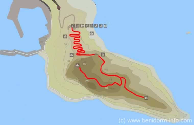
Penyal de Ifac Maps, Calpe, Costa Blanca, Spain
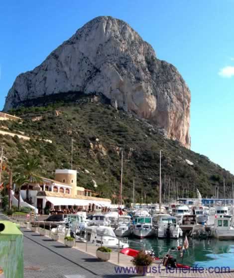
The Charming Calpe Marina, Backdropped by the towering lfach rock, Penyal de Ifac
The Rock of lfach, Penyal de Ifac, is the iconic symbol of Calpe, and in my opinion the second most iconic symbol of the Costa Blanca, the first being the Watch (Bell) tower at Guadalest
Penyal de Ifac Walking Route Map
About the Route to the Summit
- Only 300 people are allowed om the rock per day.there fore It is essencial that you book a place.
- The height of the rock is 322m.
- The route starts at the information centre where there are toilets.
- Entrance to the Park Natural del Penyal d'Ifac., is by a turntable that counts you in & out.
- The round trip takes approx. 2hours 30 minutes but depends on your stamina abilities, but well worth the effort.
- Dont forget :
- A good supply of water.
- Sunscreen.
- Camera.
- Good footwear.
- Before the tunnel, approx. half way about 1 mile
- A maintained path with some steps.
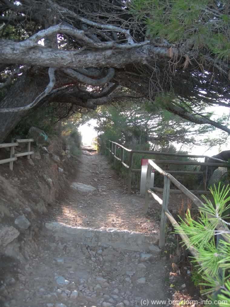
- Note the shape of some of the pine trees, caused by high winds.
- Keep a lookout for wildlife.
- In the tunnel:
- The tunnel is uphill & steepish with some steps.
- The rock floor is very rough, uneven & worn smooth and whrn wet very slippy.
- For safety use the rope or chain hand rails available on both sides of the tunnel.
- After the tunnel:
- The path is dangerous in some areas
- Very narrow path with steep drops.
- Slippery rocks.
- Walkers must take great care where they step.
- Scrambling over rocks.
- Good footwear recomended, such as hiking boots.
- Not suitable for Children. for children after the tunnel. There site states: From the tunnel, it is not recommended to continue to those under 18, due to the danger of the path.
- Also With rain or fog, it is not recommended to continue from the tunnel.
- Use the chain handrails where provided.
- The path is dangerous in some areas
- At the fork:
- Turn left for the Sentry post and view platform, Mirador de Carabiners, with great views.
- 350m.
- Fairly flat, best route if you are tired of the climb so far.
- Turn right for the summit, La Cima
- 315m.
- The steepest part of the climb and the best views from the summit, 1,089 feet above sea level.
- Turn left for the Sentry post and view platform, Mirador de Carabiners, with great views.
Reserve
It is mandatory to make an appointment to visit the Peñón de Ifach!
- A seperate reservation is required for every person
- Please read the RESERVATION GUIDE
Penyal de Ifac Photographs
Click Photo for larger Image
-
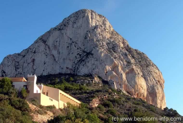
Visitor Centre and entrance to the park
. 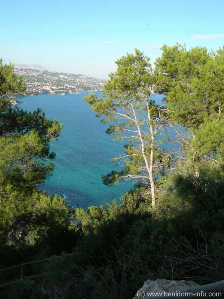
View through the trees
.
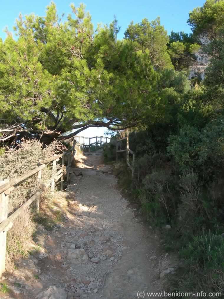
A viewpoint niche on the right.
.
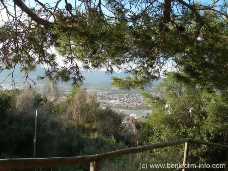
Welcomming shade provided by the trees
.
Calpe view before entering the tunnel
.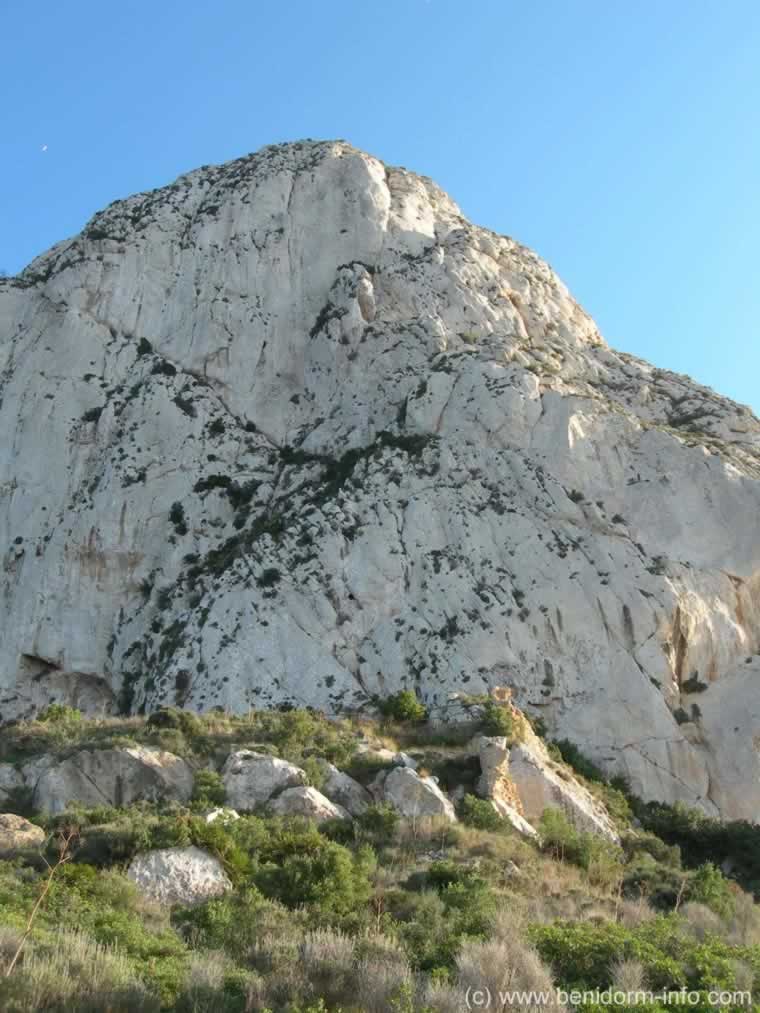
The path approaches a shear wall of rock that is impassable to a hiker. Solution: A tunnel was dug to the far side where the summit slope is less severe
.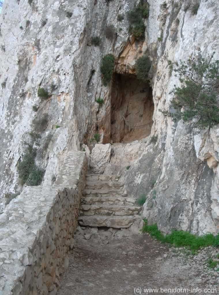
Steps up to to the tunnel
.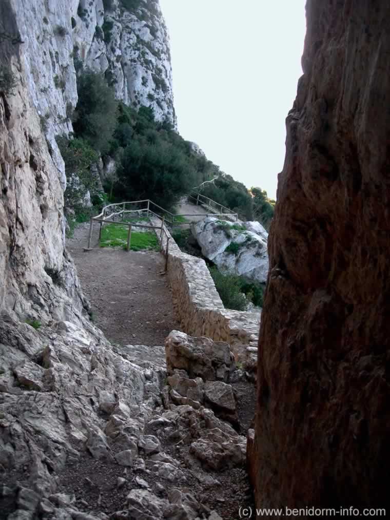
Looking back from the tunnel down the path leading to the steps.
.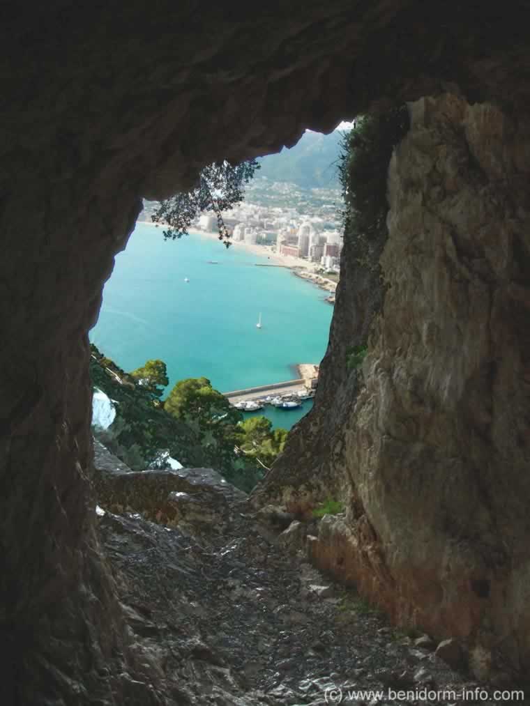
Calpe from the tunnel
.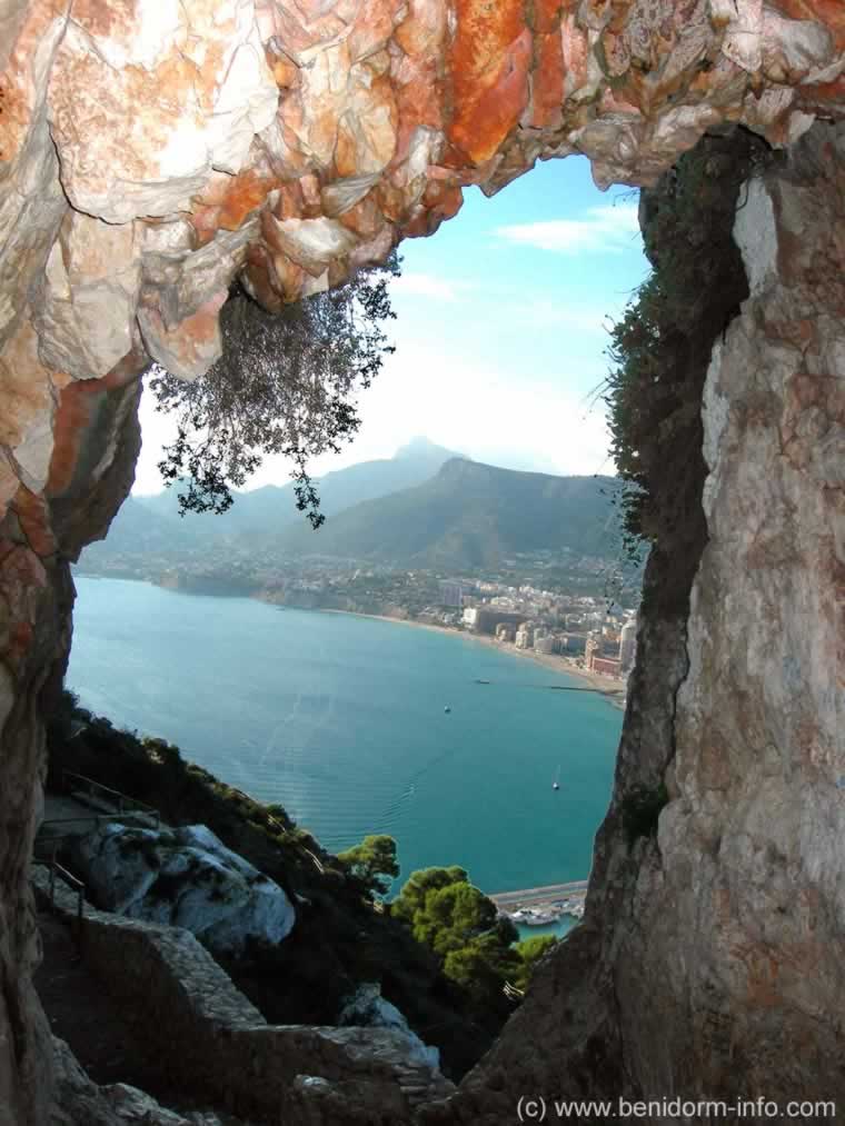
Calpe from the tunnel
.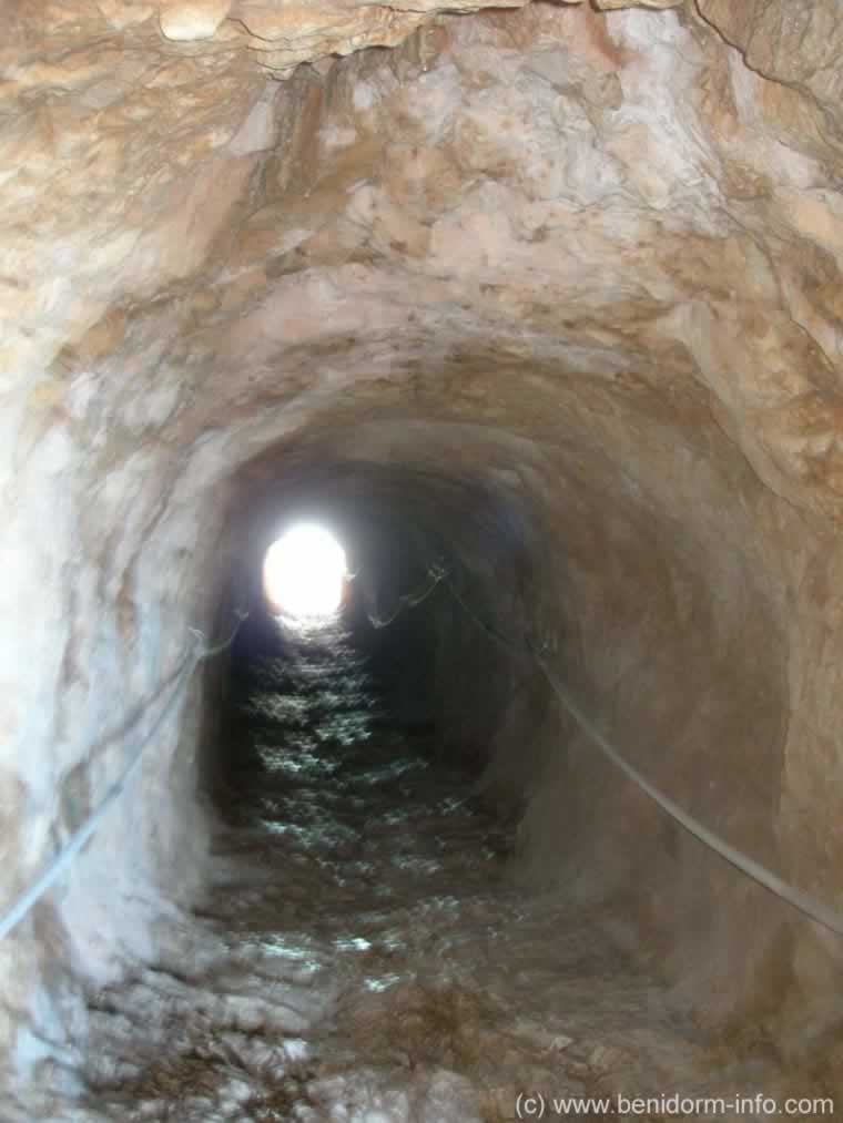
Inside tunnel as it rises upwards to the far left side of the rock
.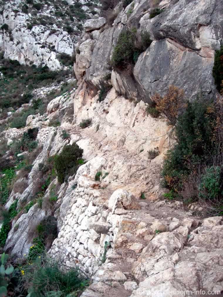
The narrow dangerous path beyond the tunnel. With steep drops on one side.
.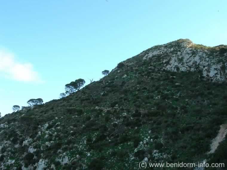
Path beyond the tunnel before it continues from the left to the rear side of the rock
.
Sentry PostInteractive Photo of Sentry Post Viewpoint Penyal de Ifac
Drag the photo Left, Right, Up, Down or Zoom
Interactive Photo. of Summit of Penyal de Ifac
Drag the photo Left, Right, Up, Down or Zoom

